A Nice video of Kerala backwater trip
Video of a boat trip from Kollam to Alapuzha through back waters of Kerala
Video of a boat trip from Kollam to Alapuzha through back waters of Kerala
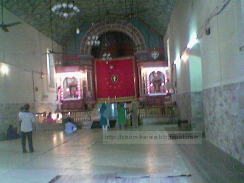
Kadamattom church is situated on the Ernakulam district in Eranakulam to Muvattupuzha route, 10 kms before Muvattupuzha , along the MC road in a calm and serene hill. There is no concrete evidence of the exact date of the establishment of the church. Believed to be built between the 4th and 10th century.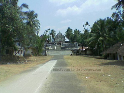
To see more of these images please visit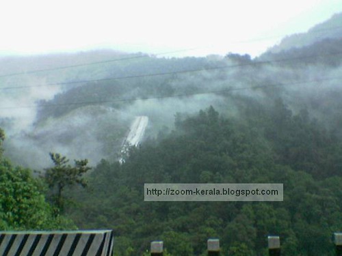


To see more of these images please visit
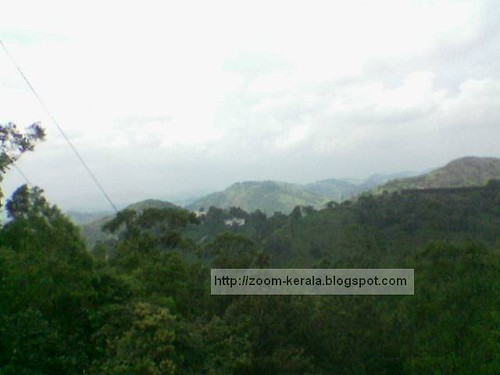
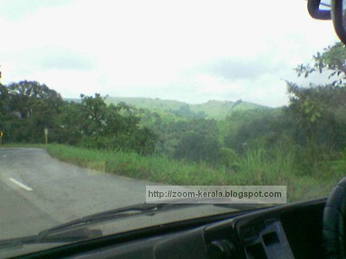
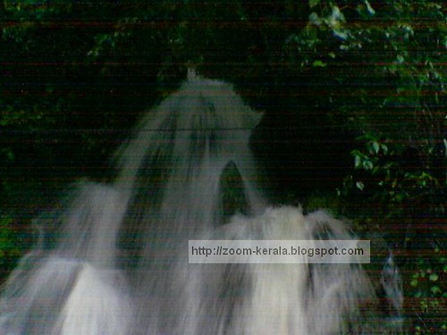
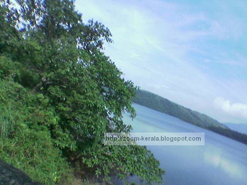
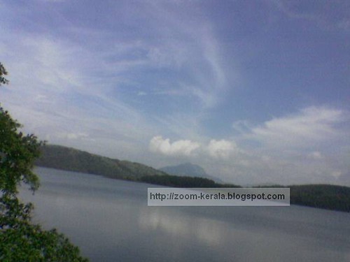
Idukki
Idukki district (Malayalam :ഇടുക്കി ) is one among the 14 districts of Kerala state, India. The district headquarters is located at Kuyilimala (earlier it was at Painavu).
Geography
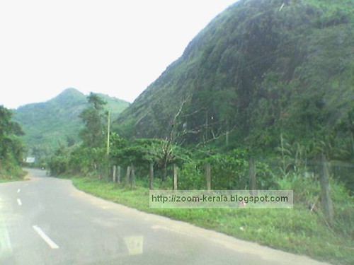
Idukki has an area of 5,105.22 km² (1,971.1 sq mi) and is the second largest District of Kerala. Rugged mountains and forests cover about 97 percent of the total area of the District. The district borders the Kerala districts of Pathanamthitta to the south, Kottayam to the southeast, Ernakulam to the northeast and Thrissur to the north and Coimbature, Dindigul and Theni Districts in Tamilnadu to the east. See:map.
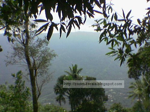
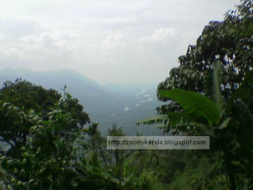
Anamudi, the highest peak in India south of Himalayas, is in the Kuttampuzha Panchayat of Adimali Block, in the K.D.H Village of Devikulam taluk. 13 other peaks in the district exceed a height of 2,000 m (6,562 ft). The Periyar, Thodupuzhayar and Thalayar are the important rivers of the district.
History
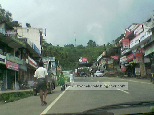
The High Range of Idukki attracted Scottish planters in the 19th century and they left behind some bungalows in an around Munnar, which are quite notable for their architectural beauty. Perhaps the most visible one to the tourists is Ladbroke House,which is named after the Ladbroke Square in London. The Trout, coniferous trees and dark green planter's cap are all contributions of those planters. Quite interestingly, Munnar had railway lines almost a century back! This started from the KDHP office at Munnar and extended up to Top Station near the Tamil Nadu border. The torrential rain and storm of 1924 destroyed the major part of the rail system and the Mattupetty dam still has the remains of the rail lines. Quite few of the rails are used as electric posts in Munnar. KDHP's tea factory has one of the wheels of the locomotives being kept there.
Idukki has the largest arch dam in India, the Idukki Dam, constructed for the Idukki Hydro Electric Power Project in 1969 with the cooperation of the Canadian Government. This single project powers almost half of the entire state and some parts of neighboring states. Mattupetty Dam is also here.
Protected areas
This district has several protected areas including: Periyar Tiger Reserve in the south, Kurinjimala Sanctuary to the east, Chinnar Wildlife Sanctuary to the north east, Eravikulam National Park and Anamudi Shola National Park to the north, Pampadum Shola National Park to the south and Thattekkad Bird Sanctuary in the west. These protected areas are especially known for several threatened and endemic species including Tiger, Nilgiri Thar, Grizzled Giant Squirrel, Nilgiri Wood-pigeon, Elephant, Gaur, Sambar Deer, and Neelakurinji.
Idukki is known for the splendid green mountains, streams and spices. It is one of the a main tourist destinations in Kerala with its hill stations, Devikulam and Munnar, surrounded by lush hills, tea plantations and valleys. Mattupetty, is the headquarters of the Indo-Swiss Cattle Project, about 11 km away from Munnar.


Some of these Images were contributed by my aunties.
To see more of these images and in better quality visit following link


